★ REP YOUR TOWN ★ HOMETOWN TEES ★ PRINTED TO ORDER ★ WHERE YOU FROM? ★ REP YOUR TOWN ★ HOMETOWN TEES ★ PRINTED TO ORDER ★ WHERE YOU FROM? ★ REP YOUR TOWN ★ HOMETOWN TEES ★ PRINTED TO ORDER ★ WHERE YOU FROM? ★ REP YOUR TOWN ★ HOMETOWN TEES ★ PRINTED TO ORDER ★ WHERE YOU FROM? ★ REP YOUR TOWN ★ HOMETOWN TEES ★ PRINTED TO ORDER ★ WHERE YOU FROM? ★ REP YOUR TOWN ★ HOMETOWN TEES ★ PRINTED TO ORDER ★ WHERE YOU FROM?
Damaged in shipping or misprinted? Free replacement. Details
The Street Map design from our Chattanooga, Tennessee collection, on a crewneck sweatshirt.
Heavy blend 50/50 cotton-poly fleece
Ribbed collar, cuffs and waistband
Classic unisex fit
Printed to order in the USA
What's on this crewneck sweatshirt
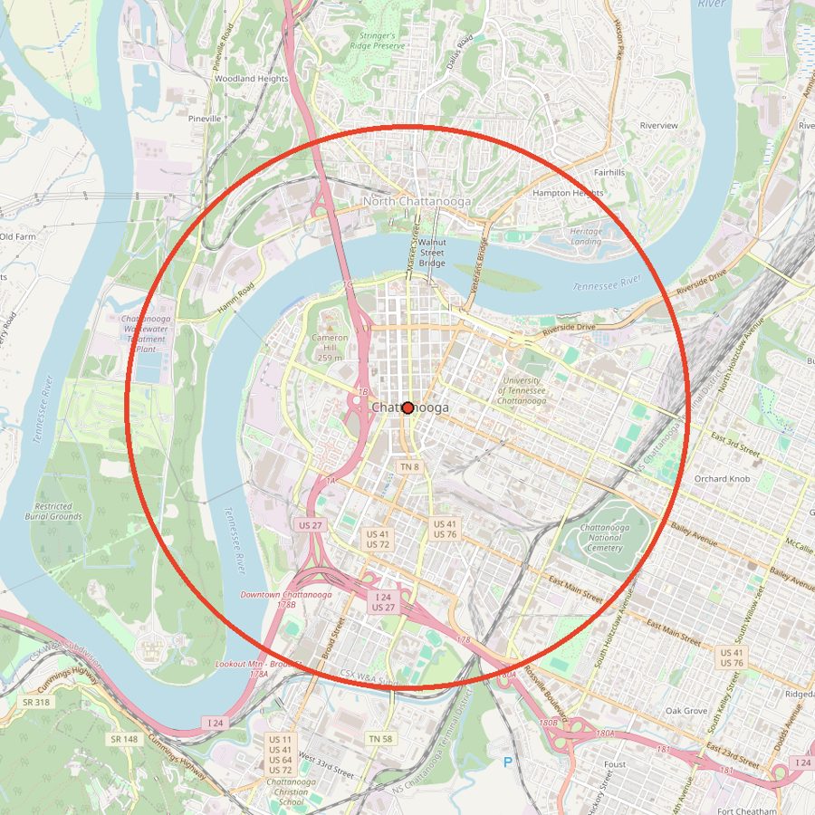
Drawn from real map data: every street inside a 3.2 mile circle centered on downtown Chattanooga, with the Tennessee River curving through it. That is 279 named streets in one circle.
The circle takes in downtown and the Southside, North Shore across the river, and both ends of the Walnut Street Bridge, plus Coolidge Park, Renaissance Park, Ross's Landing, and Miller Park.
Yes. The streets and river come from OpenStreetMap data for a circle about 3.2 miles across, centered on downtown Chattanooga. The map on this page shows the exact area.
What neighborhoods are on it?
Downtown, the Southside, and North Shore across the river, with the Walnut Street Bridge connecting them.
What sizes and colors does it come in?
Sizes S to 3XL in 12 colors: White, Sand, Sport Grey, Ash, Light Blue, Black, Navy, Forest Green, Maroon, Military Green, Light Pink, Graphite Heather. Every size is $39.
How is it made?
Heavy blend 50/50 cotton-poly fleece. Ribbed collar, cuffs and waistband. Classic unisex fit. Printed to order in the USA.
Can I return it?
Each one is made to order, so we can't take returns for a change of mind. If it arrives damaged or misprinted, tell us within 30 days with a photo and we'll replace or refund it, free.