★ REP YOUR TOWN ★ HOMETOWN TEES ★ PRINTED TO ORDER ★ WHERE YOU FROM? ★ REP YOUR TOWN ★ HOMETOWN TEES ★ PRINTED TO ORDER ★ WHERE YOU FROM? ★ REP YOUR TOWN ★ HOMETOWN TEES ★ PRINTED TO ORDER ★ WHERE YOU FROM? ★ REP YOUR TOWN ★ HOMETOWN TEES ★ PRINTED TO ORDER ★ WHERE YOU FROM? ★ REP YOUR TOWN ★ HOMETOWN TEES ★ PRINTED TO ORDER ★ WHERE YOU FROM? ★ REP YOUR TOWN ★ HOMETOWN TEES ★ PRINTED TO ORDER ★ WHERE YOU FROM?
Stacked ridgelines traced from real elevation data around Chattanooga, with the city's coordinates set underneath. The mountains and valleys that surround the Scenic City, drawn as clean lines. One-color print that works on any shirt.
Heavyweight 100% cotton
Classic unisex fit
What's on this shirt
This one is real data. We took elevation data for a 20 x 20 mile square centered on downtown Chattanooga, sliced it into 26 west-to-east profiles, and stacked them from north to south. Every bump on every line is actual terrain.
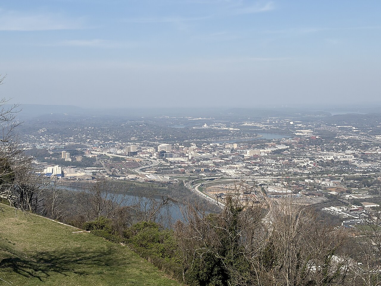
Inside the square, the ground runs from about 633 feet at the river to about 2,152 feet on the high ridges, roughly 1,500 feet of relief. That takes in Lookout Mountain, Signal Mountain, Raccoon Mountain, Missionary Ridge, and Stringer's Ridge, with the Tennessee River winding between them.
Gift idea: For the trail runner, the mountain biker, or the person who knows every ridge by name.
Questions about this shirt
Is this made from real elevation data?
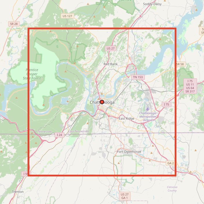
Yes. Each line is a real west-to-east elevation profile across a 20 x 20 mile square centered on downtown Chattanooga. The map on this page shows the exact area.
Which mountains are in it?
The square takes in Lookout Mountain, Signal Mountain, Raccoon Mountain, Missionary Ridge, and Stringer's Ridge, plus the Tennessee River valley between them.
What sizes and colors does it come in?
Sizes S to 3XL in 12 colors: Black, Natural, Sand, White, Sport Grey, Ash, Light Blue, Navy, Forest Green, Maroon, Military Green, Charcoal. Every size is $29.
How is it made?
Heavyweight 100% cotton, classic unisex fit. Each shirt is printed to order in the USA when you buy it.
Can I return or exchange it?
Each shirt is printed to order, so we can't take returns or exchanges for size or a change of mind. If it arrives misprinted or damaged, tell us within 30 days with a photo and we'll replace or refund it, free. Check the size chart above before you order.
Get outside in Chattanooga
Tennessee Riverwalk ↗More than ten miles of paved trail along the river, running from Chickamauga Dam through downtown toward St. Elmo.
Stringer's Ridge ↗A 92-acre urban wilderness with about 7 to 10 miles of multi-use trails and city views, minutes from North Shore.
Raccoon Mountain ↗A 15-minute drive from downtown with a 13-mile trail running loop and nearly 30 miles of mountain biking singletrack.
Prentice Cooper State Forest ↗Ten miles west of the city, good for climbing, mountain biking, horseback riding, camping, and hiking across its wildlife management area.